Mt. Taylor Traverse
Date: March 2, 2019
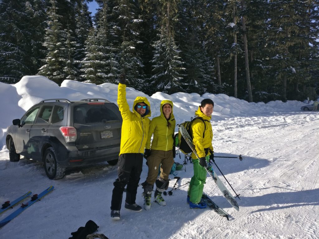
Participants: Julie, Jeremy, Alex Le, Geoff Zenger
Difficulty: 3
Report: It’s been years since the idea of doing a day traverse of Mt. Taylor, to ascend via Joffre Lakes and descend via the NW was first put in my head. I can’t remember who first suggested it to me, but after an unsuccessful attempt on Mt. Taylor back in early 2012 (due to fog), I knew I had no interest in once again ascending via the forest on the NW.
As luck would have it, my family was out of town for the weekend and I was able to talk Alex into a trip up to the Duffey, and he roped a couple others into joining us for our adventure.
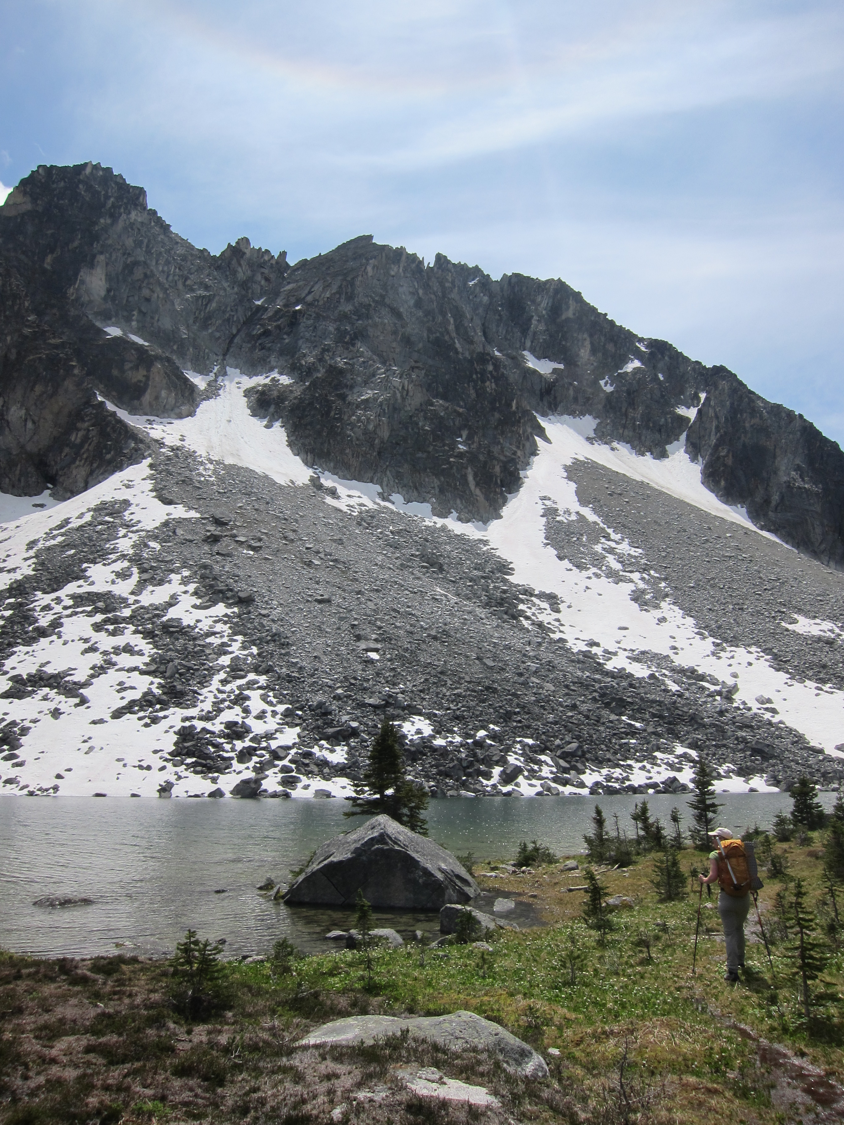
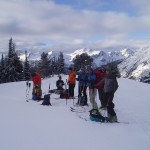
After meeting at Mt. Currie Coffee in Pemberton, we dropped off my XTerra at the Saxifrage pull out and piled into Julie’s Forester and continued on to the Joffre Lakes parking lot. Amazingly, despite it being 9:30am and completely clear skies, there were only two other cars in the lot! Not complaining about the lack of crowds, we suited up and quickly got going, and with a well packed trail ahead of us we made good time and found ourselves standing on Upper Joffre Lake by 10:50am.
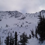
From the lake, we worked our way up the easy slopes towards the Tszil-Taylor col. As we passed the turnoff for the Tszil glacier we stopped to discuss whether we should tack an ascent of Tszil on to the day. After debate, we elected not to given that there were many open crevasses visible on the Matier and Stonecrop glaciers and not knowing the condition of the Tszil glacier, chose to continue directly up towards the Tszil-Taylor col. We stopped for lunch at a quiet flat spot in the valley before reaching the col, which we reached right at 1pm.
From the col, we could see that in theory a direct ascent of Tszil would be possible on a moderate snow slope (perhaps 35 degrees), but we could also see that the ridge directly up Taylor would not be passable on skis and that we would have to traverse around to the west side of the peak and once again chose to head straight for Taylor.
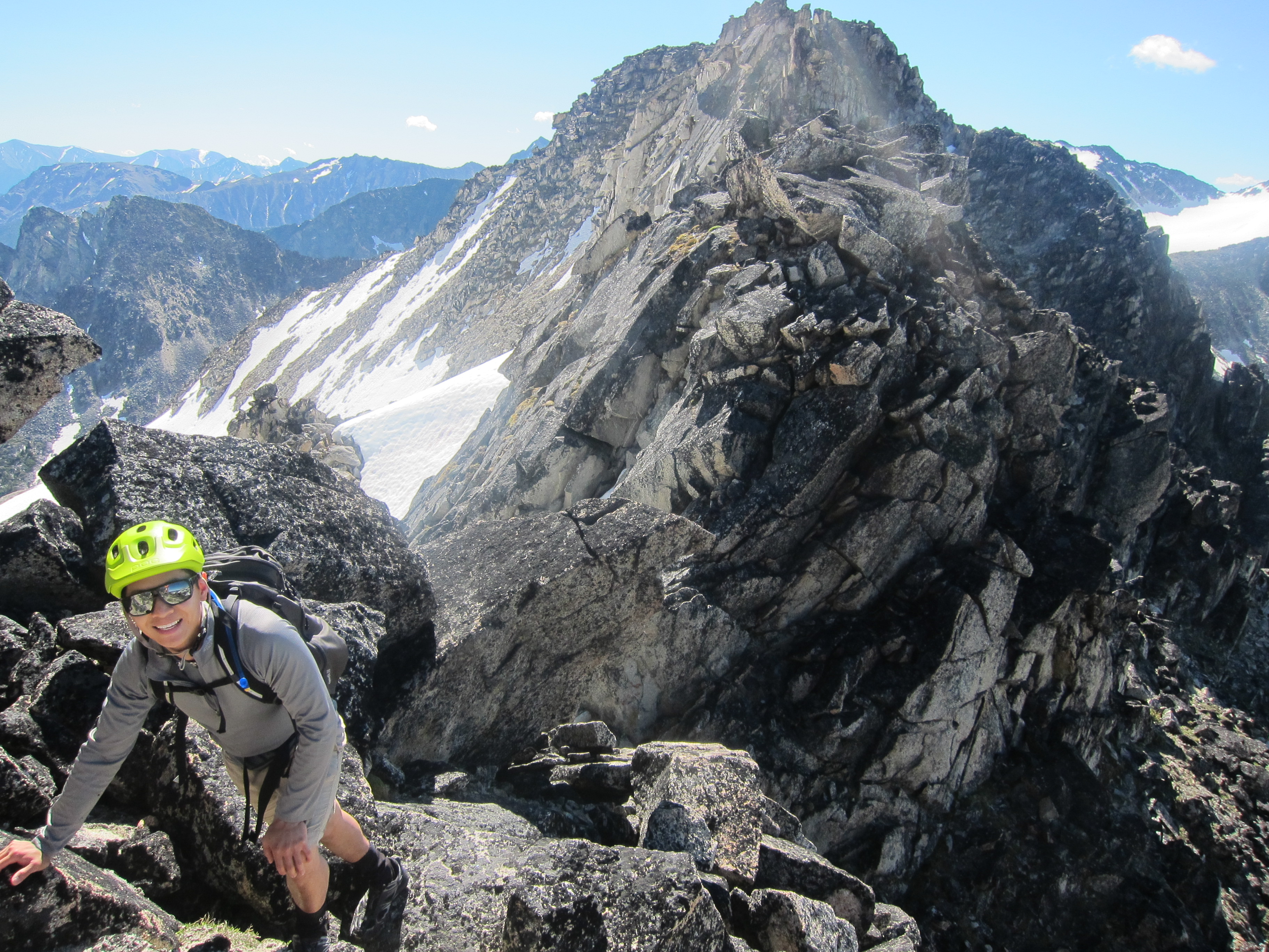
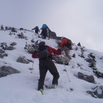
Heading around the southwest side of Taylor meant spacing ourselves out and crossing a couple of moderately exposed slopes that dropped off below us. We hustled and made it to the ridge that descends directly west off of the summit.
At this point, a party of 2 others caught up to us and decided to try to skin up a very steep snow slope, but we left our skis and booted straight up the ridge. The snow was unconsolidated in places, but in retrospect we made the right decision as we later learned that the other couple had eventually had to backtrack, leave their skis, and follow our boot track up to the summit. We reached the summit at about 2:40pm to gorgeous views all around!
The descent to our skis was quick, and we skiied down an obvious opening in the ridge to the bowl NW of the summit where I’d had to turn around 7 years ago due to lack of visibility. The snow was soft and amazing, and we continued skiing down open slopes on the left hand side of the bowl and down the boulder fields below, eventually crossing the creek at around 1300m.
Here we made our big mistake of the day. There is a faint old road that comes through the old clearcut at about 1200m and that leads back to where we left the car. However, the road does not come all the way across the clearcut.
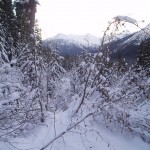
When we hit the top of the clearcut, rather than traversing due north (skiier’s right), we skiied down some open slopes and ended up too low to hit the road. We traversed without skins for a few minutes before putting our skins on and fighting for a good 45 minutes through some of the worst trees imaginable to regain the 60m needed to get onto the road. It was a very good thing we saved time and energy by not ascending Tszil.
Once on the road, we found an old skin track, removed our skins, and were back down at the Duffey Lake Road in just a few minutes. We were back at our car just a bit before 5:30, for a total trip time of 7:45.
Thank you everyone for joining me on this trip. This trip can be highly recommended for a great mix of views, adventure, and skiing. Just don’t go too low to miss the road!
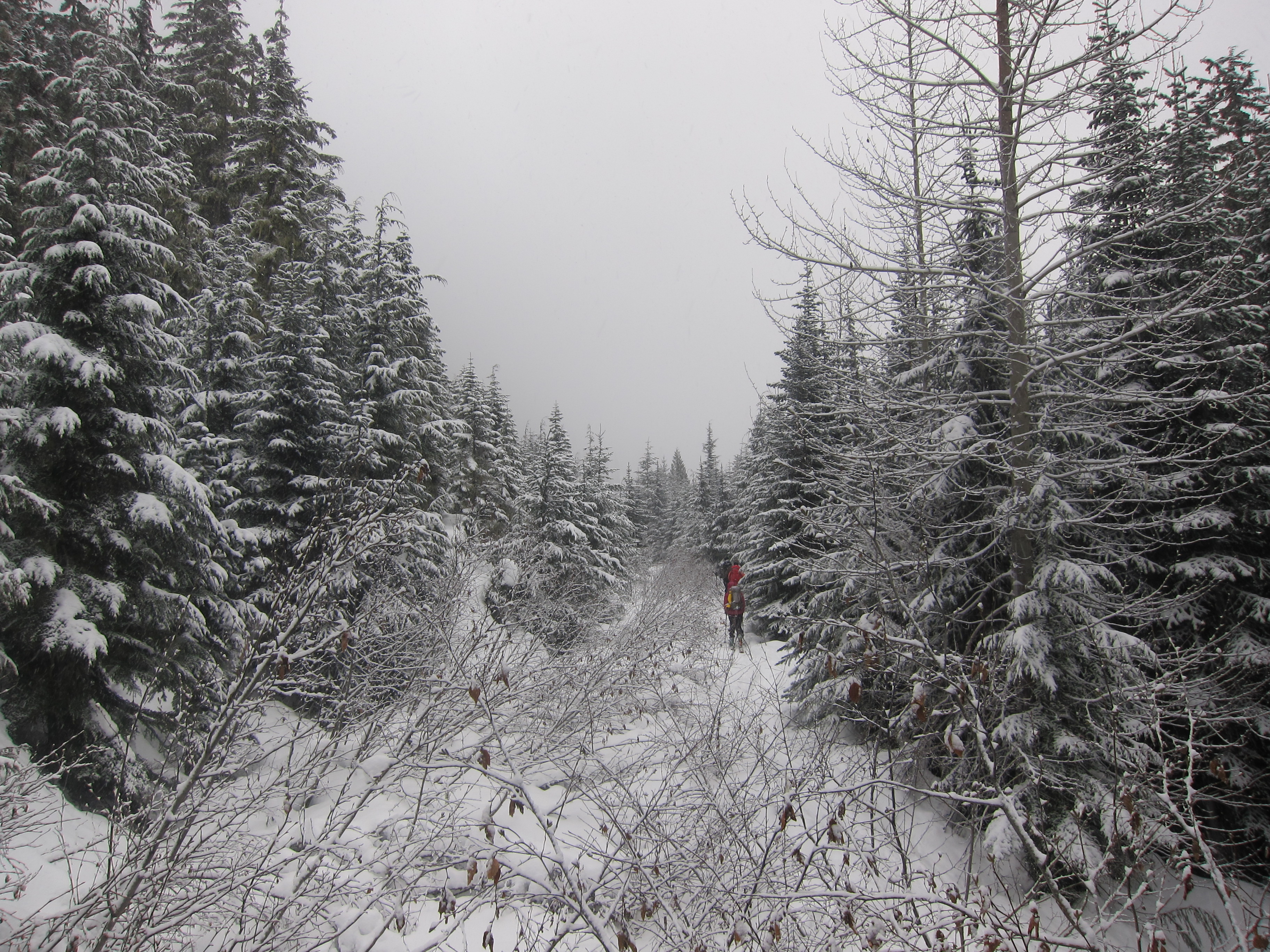
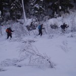
Starting out 
Joffre skin track 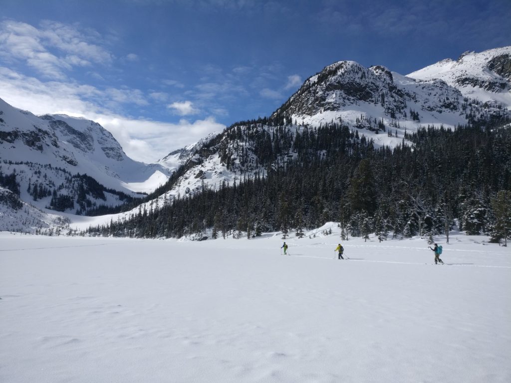
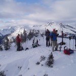
Upper Joffre Lake 
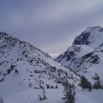
Tszil in background 
Col: Taylor in background 
Traversing Taylor 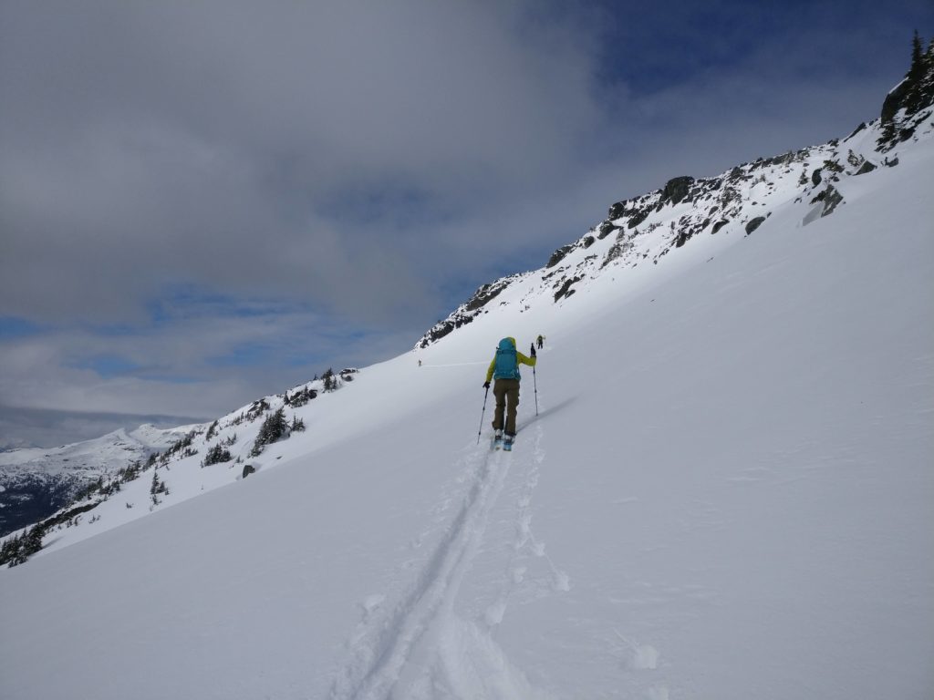
Traversing Taylor 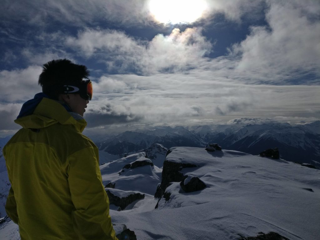
Summit gaze 
Author shot 
The party 
Awesome skiing 
Pillows!