Trip Date: July 1, 2013
Participants: Ed Zenger, Brittany Zenger, Geoff Zenger
Difficulty: 1/2
Report: After returning back to the Duffey Lake Road Sunday evening so that Mr. Le could make it back home that evening to work on the holiday Monday, the rest of us headed into Lillooet for dinner and to look through our maps and guidebooks to find somewhere we could go for a short trip on Monday and still get us back in town with time to run a bunch of errands. We decided to head up towards Blowdown Pass and hopefully make it up Gott Peak. Given that the road heads up a north facing valley (snow?) and didn’t know the road conditions, we weren’t sure whether we’d be able to drive anywhere near the pass, but we started up the road around 7:30 just to see how far we’d get.
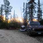
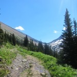
The road towards Blowdown pass is in good shape for the first 10km (where we could see some trucks had parked, a few waterbars just before the parking pullout), but then becomes much rougher. We had no problems until around the 11.4km mark, where there was a nasty little section of road: a small creek crossing followed by a steep, rutted out few metres that despite two attempts, we weren’t able to bounce up. We didn’t know what followed and so backtracked about 100m down the road to a very pleasant pullout for camping. The next day we would learn that once past this nasty section, the road is in decent condition for another few km, and so anyone who does make it past this would have been able to drive to within about 50m below the pass, where the road became snow covered.
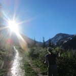
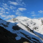
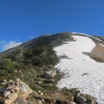
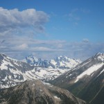
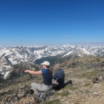
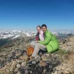
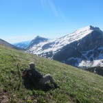
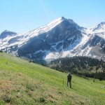
We woke up on the Monday at 5:30, and took our time to pack up camp and eat breakfast, and set off on foot up the road towards Blowdown Pass around 6:45, making it to Blowdown pass at about 7:45 where we stopped to enjoy the incredible morning views and eat a more substantial meal. From here, it was about 10 minutes of walking up easy snow before the ridge became snow free, and from thereon it was easy pleasant walking over the broad heather covered slopes to Gott’s false summit, which we reached at about 8:45. Once again we stopped to take in the incredible views and then rambled for another 20 minutes along the ridge over to Gott’s true summit (reaching it at about 9:20), from which the mid-morning views were incredible. Gott Peak is the tallest mountain for quite a distance and so the views were fantastic over to Matier and Joffre, Silent Hub, Skihist, Stein, and so on.
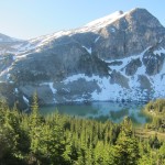
Rather than head back down to Blowdown Pass and down the road, we decided to head straight down the meadows below the peak to hit the road right above where it splits to go to the lake, and this proved to be no problem. The meadows were lush with blooming flowers from top to bottom, and we were quickly down on the road and back to the car. Total round trip time was around 5 hours moving at a very relaxed pace. I will definitely be back someday to explore the ridges on the other side of the pass, and to hopefully make the traverse over from Gotcha to Notgott peak. Recommended for an easy day in beautiful country.
