Watersprite Peaks
Date: July 27-28
Participants: Dave Scanlon, Brittany Zenger, Geoff Zenger
Difficulty: 2-5
*** NOTE: This report describes work on the original Watersprite trail, which no longer exists. Please consult other sources for a description of the current trail and access to the Watersprite area ***
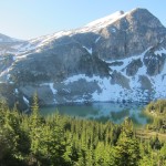
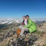
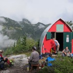
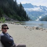
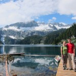
Report: Brittany and I had gone in to Watersprite Lake with Dave and a couple others two winters ago just as a day trip to check out the skiing opportunities in the area, but until now we hadn’t ever been in the area in summer. The BCMC (BC Mountaineering Club) has a tenure to build a hut at Watersprite Lake, and last week we were given the chance to head in there again with Dave to do a bit of improvement to the trail that he’s been building and to try and summit a few of the peaks surrounding the lake and see how we liked the area.
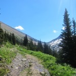
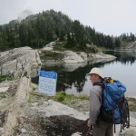
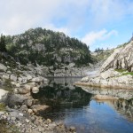
We met up at St. David’s at about 9 o’clock Sunday morning, just before the church crowd arrived, and piled into Dave’s 4×4 to make our way up towards the trailhead to get to the lake. We drove up towards Squamish, turned past the Apron parking lot onto Mamquam FSR, turned left onto the Skookum creek system just past the 13km mark and ascended the road up to the old upper staging area for the recently completed Skookum creek run-of-river IPP where we parked the car and set out up the road just before 10:30 (image removed at request from SAR). Most of the drive in is 2wd accessible, but the last few km are a bit steep and loose. The first 3.5km or so into Watersprite is on an old logging road, and after our snipping efforts last weekend is reasonably clear of alder and bush. It took us about an hour and a half to reach the flagged turn off from the road to drop down into the meadows below where Dave has cleared and flagged a trail that can be followed up to the lake. En route to the lake we helped fix up the trail, did a bit more snipping, and eventually arrived at the camping area / proposed hut location at the outflow of Watersprite Lake shortly before 3pm, for a total time to walk in of about 4.5 hours.
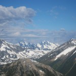
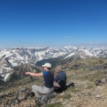
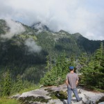
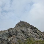
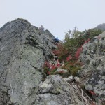
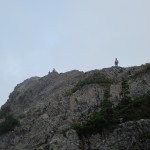
At the lake we set up camp and had a snack, but as the day was still young at around 4:30 I decided to head out on my own to ascend Dreadnought Peak, just to the NE of the lake. I made my way around the south side of the lake to head up east to the col between Dreadnought and Watersprite Tower. From here, Dave said he’d heard there was a class 3 route up to the summit of Dreadnought, but despite trying a few approaches to get onto the ridge I was unable to find one that looked like it’d go at anything less than a stiff class 4, and eventually found myself heading up the large obvious rock gully that heads up towards the west ridge of Dreadnought a couple hundred metres west of the col. The gully was pretty unpleasant, but except for its exit, wasn’t particularly hard or steep. On the way down I found that the steep exit can be avoided through the bushes on the left (west) of the gully. Above the gully, pleasant easy scrambling led me to the summit of Dreadnought which I reached at 6pm. There are three summits of Dreadnought, all perhaps 50 feet apart and all apparently within about 1 foot of elevation. After gazing at the great view of Mamquam, Garibaldi, Sky Pilot, Tantalus, and the lesser known peaks to the east I descended back to camp for dinner and relaxation.
The following morning we headed up to attempt Watersprite Tower, Dave’s main objective for the trip. I had brought along a 30m rope and a small set of nuts and cams, but from the sub-summit of the tower we found that our rope wasn’t long enough to rappel into the notch! Furthermore, the climbing on the far side looked pretty difficult… After much hemming and hawing we eventually decided to give up on finding a way down into the notch and instead decided to traverse the ridge along the south side of the lake around over the high summit south of the lake and over towards Martin Peak. Watersprite Tower would have to wait for a later attempt. As an aside, there is a crazy balanced pillar on the sub-summit of Watersprite that couldn’t be moved into place by heavy machinery if you wanted to!
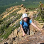
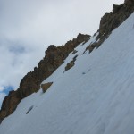
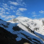
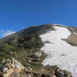
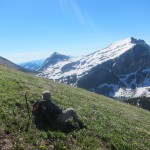
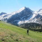
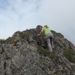
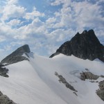
The ridge around the south of the lake is a very fun scramble. Always interesting, and never too difficult, with a few short 3rd class sections. The only tricky routefinding was the descent from the high point on the ridge (Peak 1877) to the col between it and the intervening bump between it and Martin Peak. There was a cliff that we possibly could have rappelled, but we found instead that it was better to drop down heather slopes to the south, into the bowl below, and reascend to the col via heather and talus slopes. From this point we had the option of continuing to Martin Peak, but as this col is the normal descent route from Martin Peak and we were already getting tired we decided to skip the final summit on the ridge and just descend down easy snow slopes back to Watersprite Lake. We made it back to camp at about 2pm, so our total round trip time for the loop was about 6.5 hours.
Once back in camp we slowly packed up, and departed camp close to 3 o’clock to make our way back down to the car. It would take us between 3.5 and 4 hours back to the car (so, so, so much easier in winter), and the final road seemed to go on forever, but we eventually made it and concluded another highly successful and fun trip. The hiking around the lake isn’t super easy, but with some flagging it would be accessible to most experienced hikers and it is a very beautiful area. Personally I wish the approach was an hour or two shorter, but apparently most people want a hut that’s a bit farther from the cars… apparently I dislike long approaches more than most, and 4-4.5 hours isn’t that excessive in the summer (it took us only around 3 hours in winter on skis). Finally, many thanks to Dave for building a trail into the lake and showing us the way in.


