Warner to Tyaughton Lake Bike Ride
Date: Sept 15, 2014
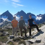
Participants: Max Bitel, Rob Janousek, Jennica Rawstron, Brittany Zenger, Geoff Zenger
Difficulty: Blue
Report: I’ve been wanting to do a Chilcotins bike trip ever since Max, Dan, and a few other friends did their first Chilcotins bike trip back in 2011 and I couldn’t join due to work commitments and since then due to health it simply hadn’t been an option. I had the realization in early September that if it didn’t happen soon, another year would pass without a Chilcotins trip and decided to do what I could to take a day off work and get a one day float plane drop organized. Circumstances came together, the trip happened and it was as good as imagined!
We had a relaxing Sunday in town, and in the afternoon went over to meet up with Rob and Jennica to pile into his Delica and make our way up the Hurley River FSR to Gold Bridge and from there up to Tyaughton Lake, where we camped at the forestry recreation site just south of Tyax Lodge. We got in well after dark and didn’t have much time to do anything other than set up our tents and get to sleep because the next morning we had to get up at 6am to prepare for our float plane drop into Warner Lake.
We had booked an 8am flight with Tyax and everything went as planned. Our pilot, Pierre, was friendly and although he spent a lot of effort making us understand that if wind conditions weren’t just right we’d have to be dropped off at Spruce Lake instead of Warner Lake, the flight went without a hitch and by a quarter to 9 we were by ourselves in the middle of nowhere, with more than 50km of single track between us and our vehicles! What a feeling!
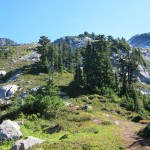
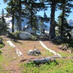
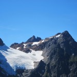
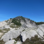
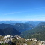
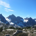
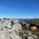
Other than the minor issue of Jennica’s front brake not really working, the morning went without a hitch. The weather was absolutely perfect. Clear, warm, but not hot and not humid. We took lots of breaks to take in the views and take photos as we made our way past Trigger Lake and Hummingbird Lake, to the old horse camp, and from there up the long hill towards Potato Patch and Spruce Lake. We reached an open knoll a bit before Potato Patch at 1:30 where we ate lunch, and from there it was only another 30 minutes or so to the far end of Spruce Lake where we swam and soaked in the sun.
We didn’t leave Spruce Lake until about 3:30, and this wouldn’t have been a problem except that Brittany had a really bad crash down on the Gun Creek trail due to clipping a root sticking out into the trail. I thought she broke her tailbone (or back) as she had trouble standing or moving her back (and couldn’t ride) for 45 minutes after the crash, but eventually the pain subsided with the help of Tylenol and Vitamin I, and we were able to make it out. After the crash, the going was very slow, but we reached the final bridge (you don’t actually cross it) a bit before 7pm, and from there it’s easy double track to the logging road, and then it’s easy road all the way out to the road heading up to Tyaughton Lake. Rob and Max rode ahead to grab their vehicles, and we met them on the main Tyaughton road at about 8 o’clock, just as darkness fell. The drive back home was long and slow, but nonetheless I showed up to work on time the next day.
Despite the scare of Brittany’s crash it was a really great day. The trails are in great shape, the company was great, the weather was great, and the length was just right to fit into a late summer day! Thanks everybody!


